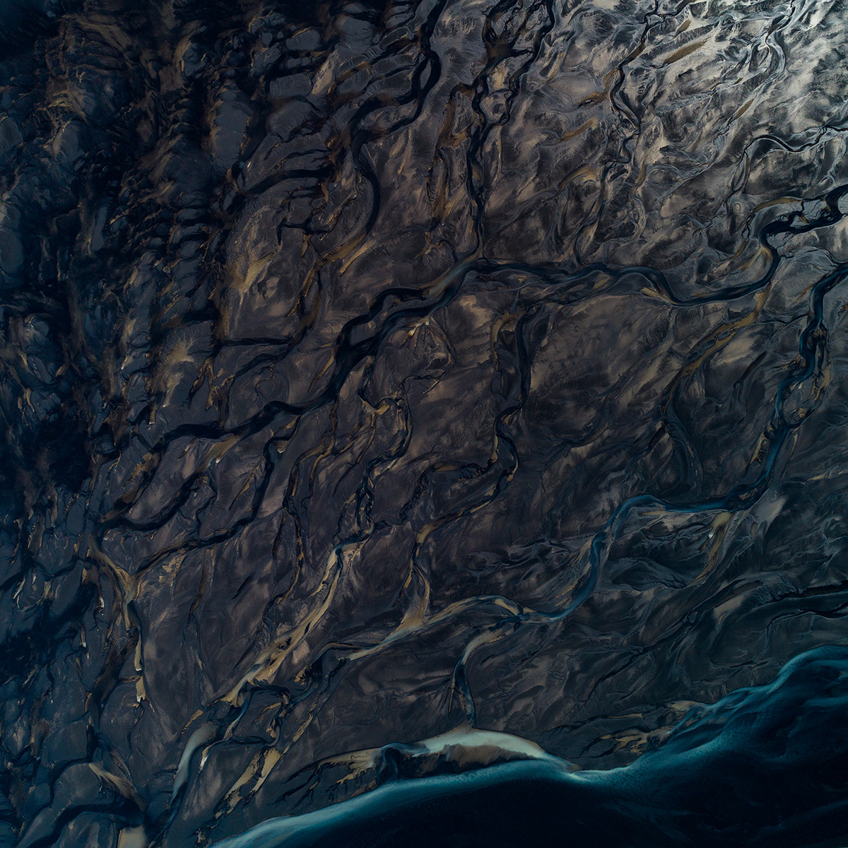
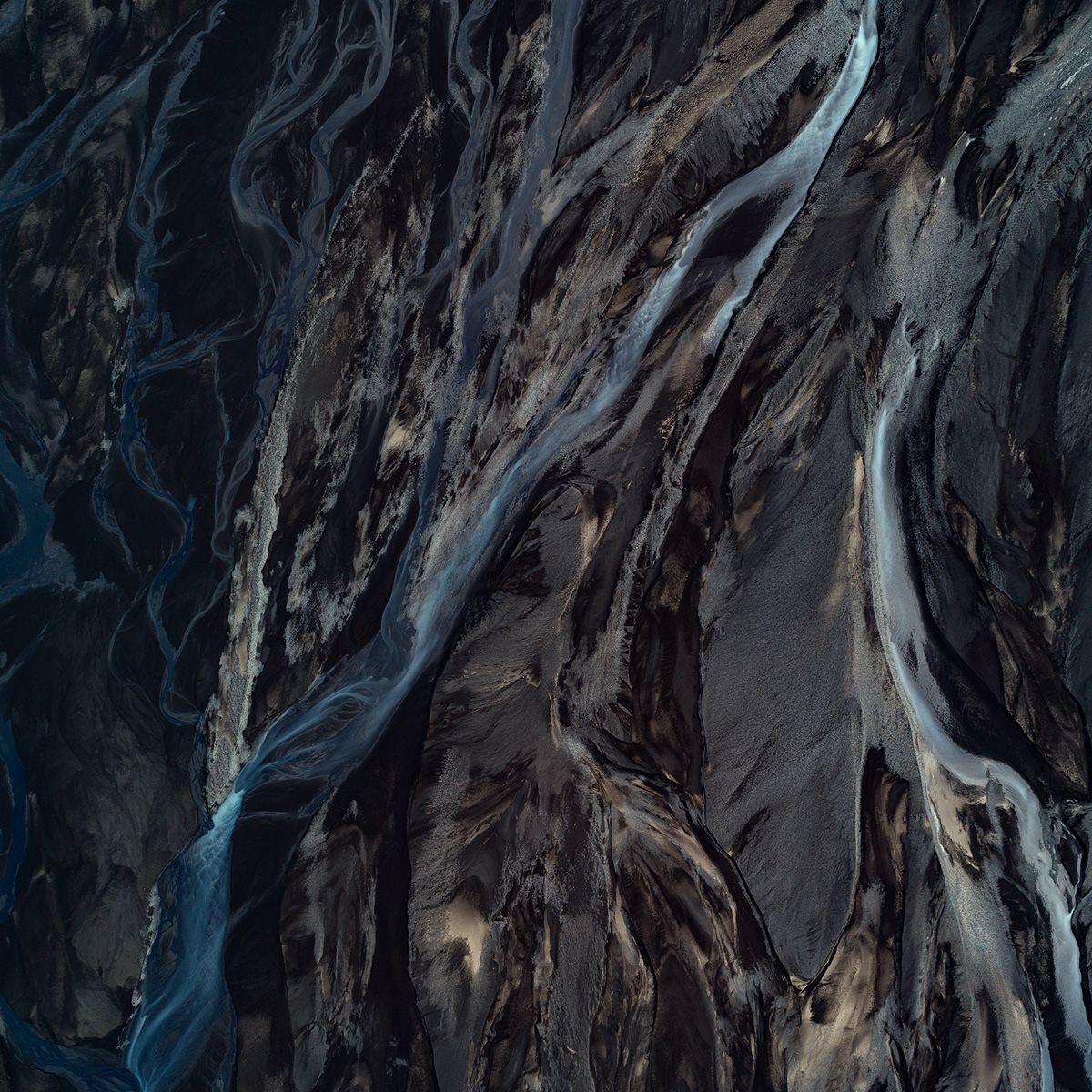
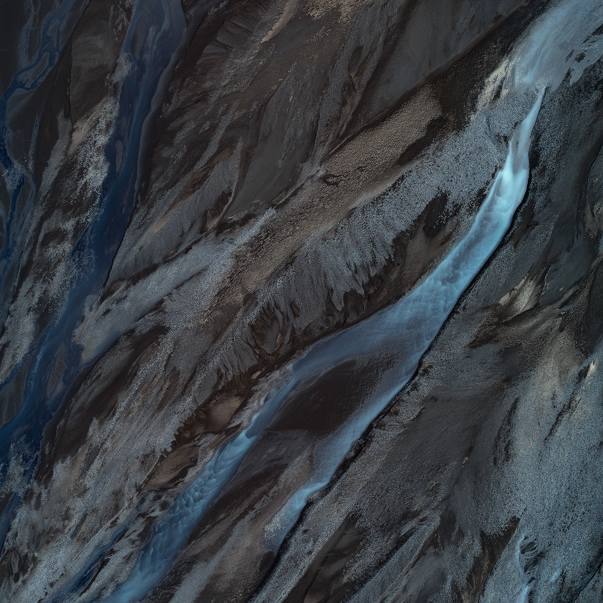
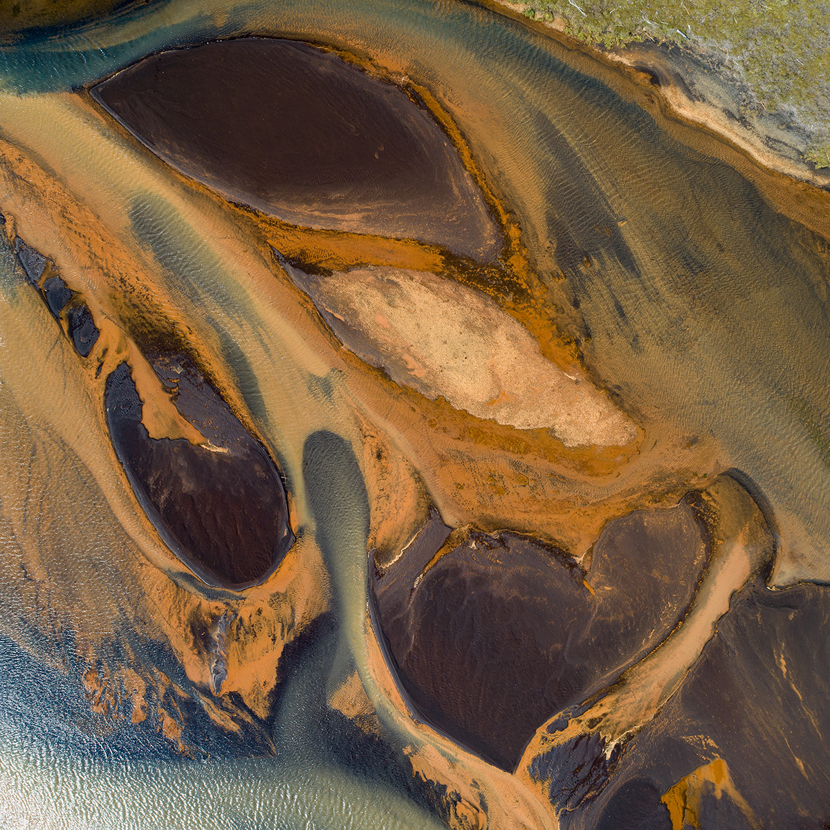
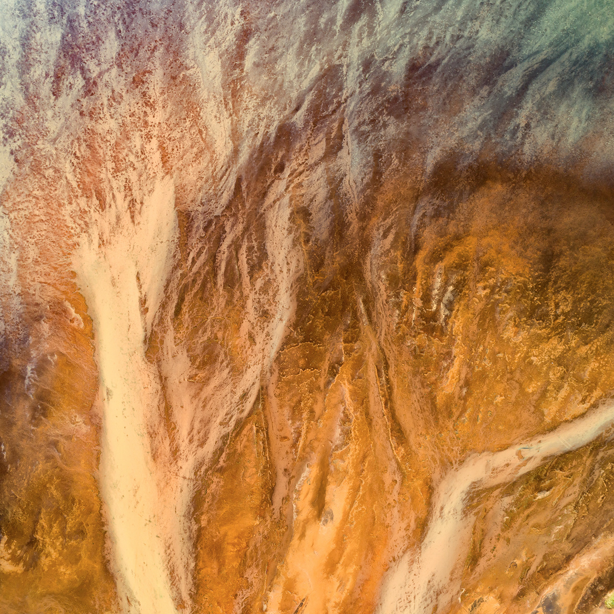
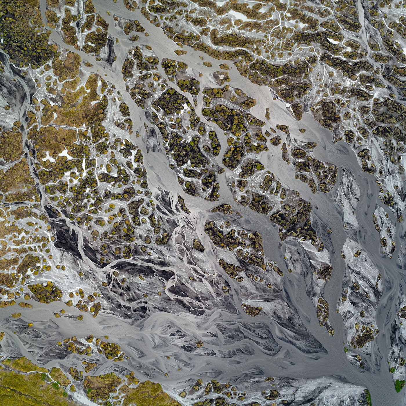
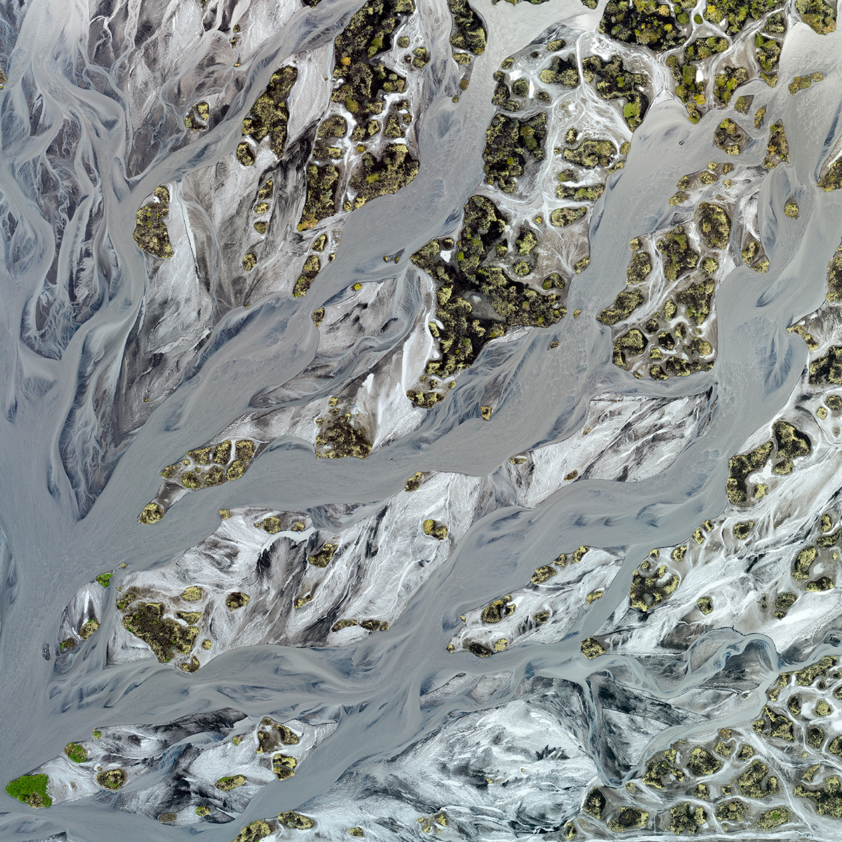
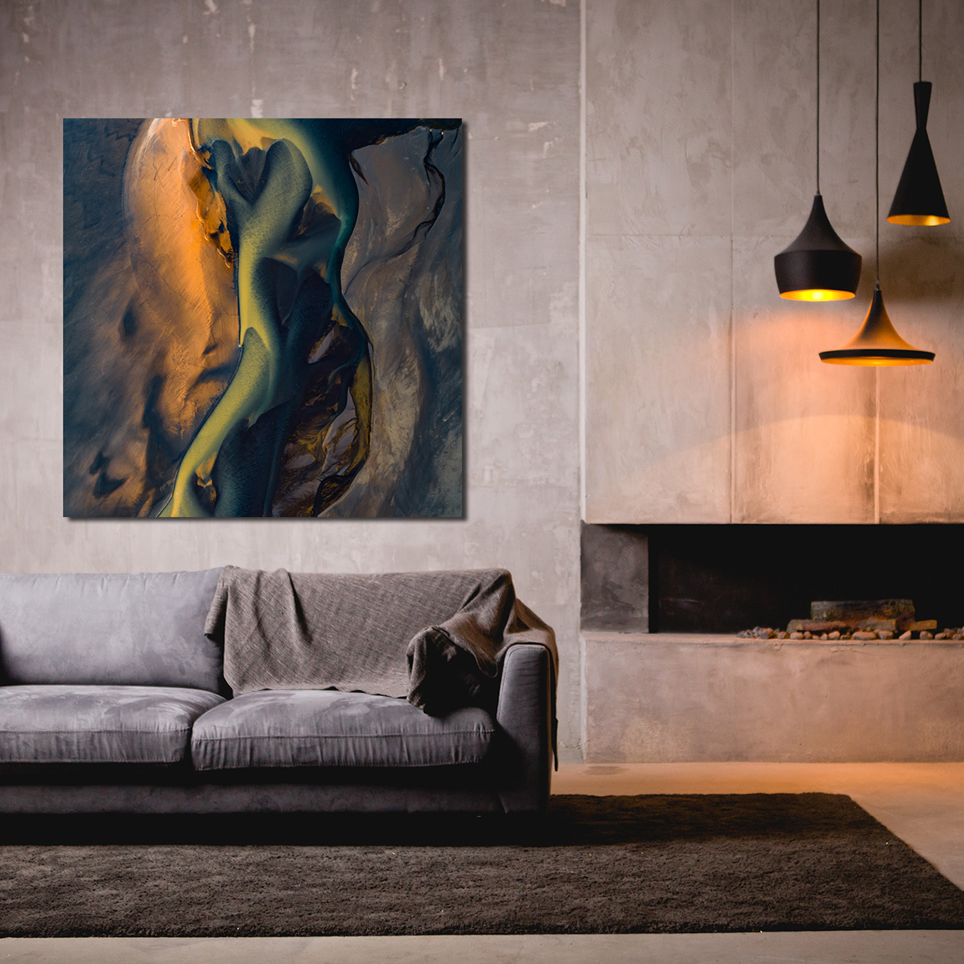
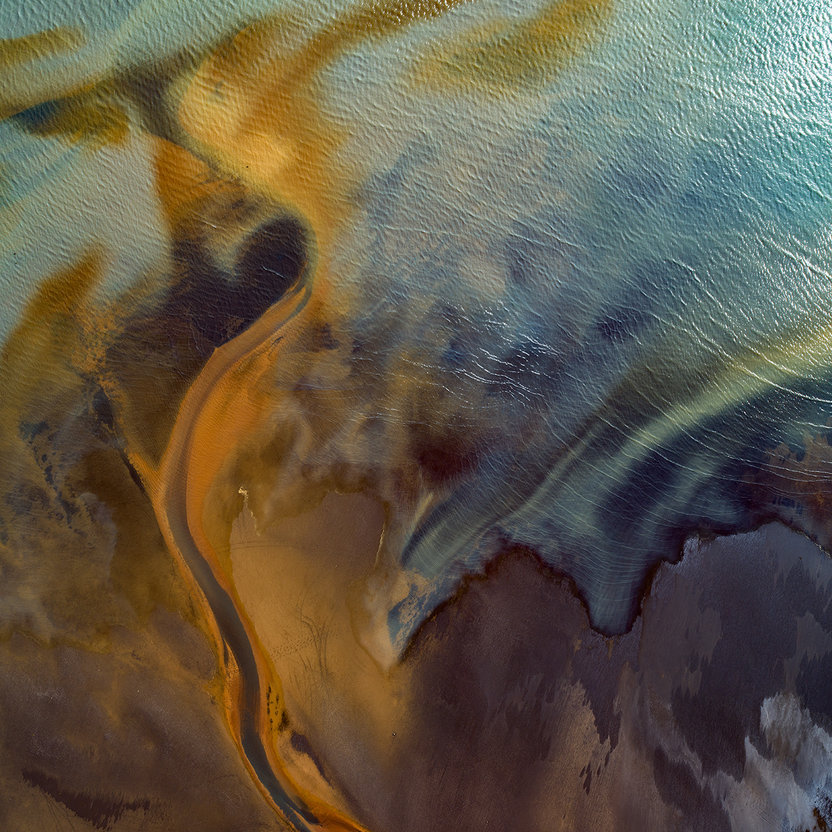
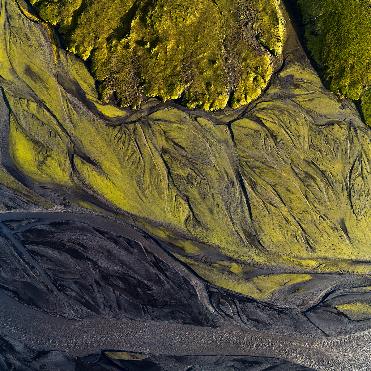
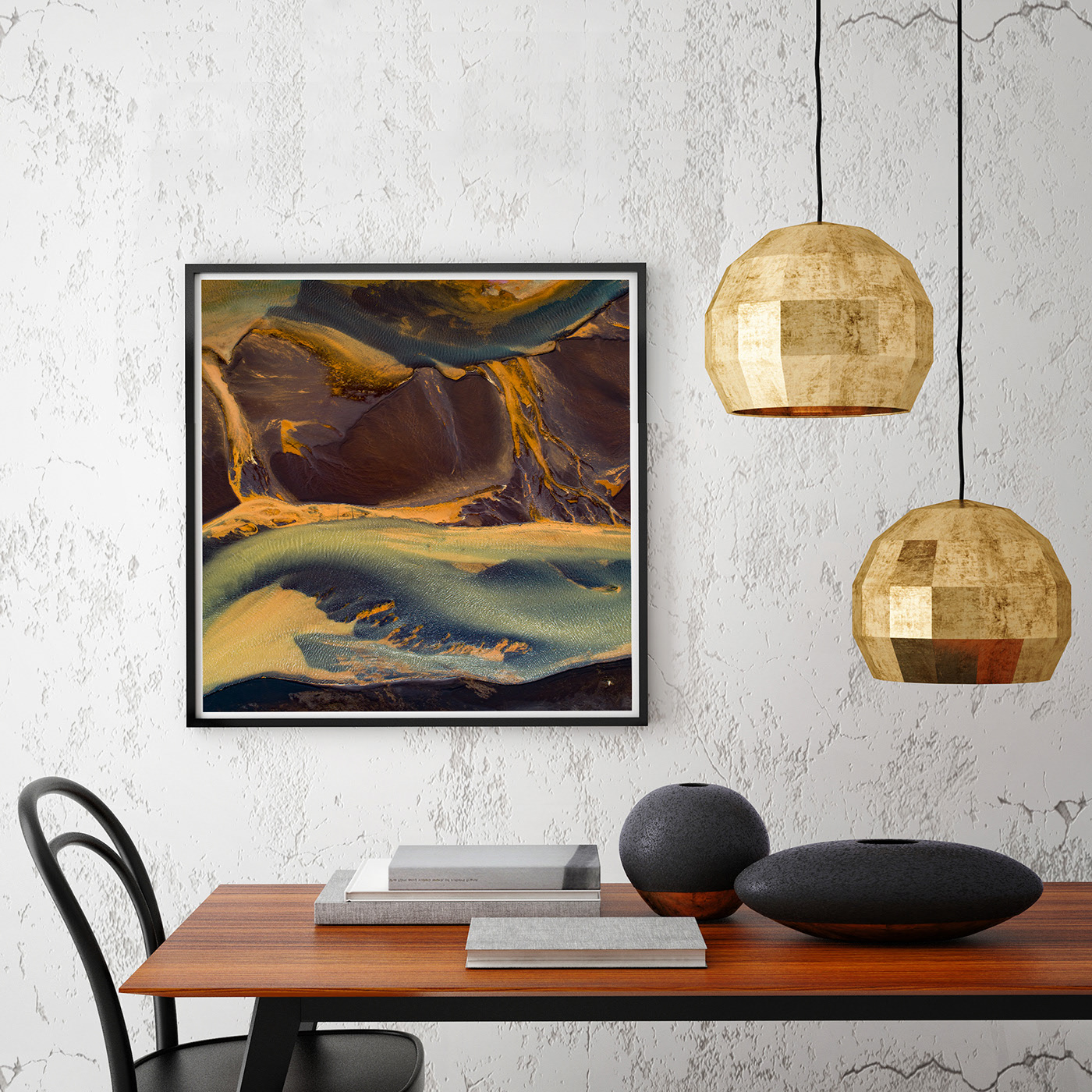
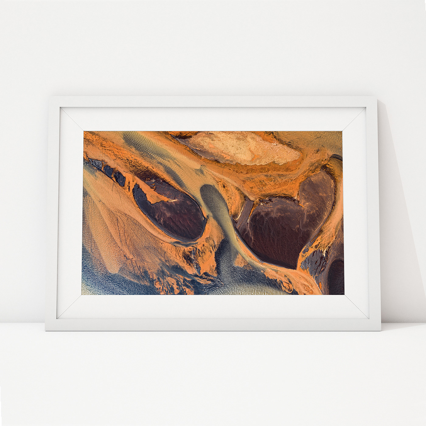
Abstract presentation of sedimentary deposites of South Iceland Fluvial and alluvial processes are associated with rivers and streams and the deposits and landforms created by them. Fluvial is of, pertaining to, inhabiting, or produced by the action of a river or stream while alluvial is pertaining to the soil deposited by a stream. Deposition of sediment over a long period of time by a river are the alluvial layers. Collection explores shapes of the eroded mountains and wide river deltas of southern Iceland. Series is part of the award wining project Water.Shapes.Earth examining the evolution of Earth’s waterways. Essay shows where water comes from, how it is spreading, how beautifully shaping the planet and in the end, what lays ahead as water retreats.
category: aerial fine art  
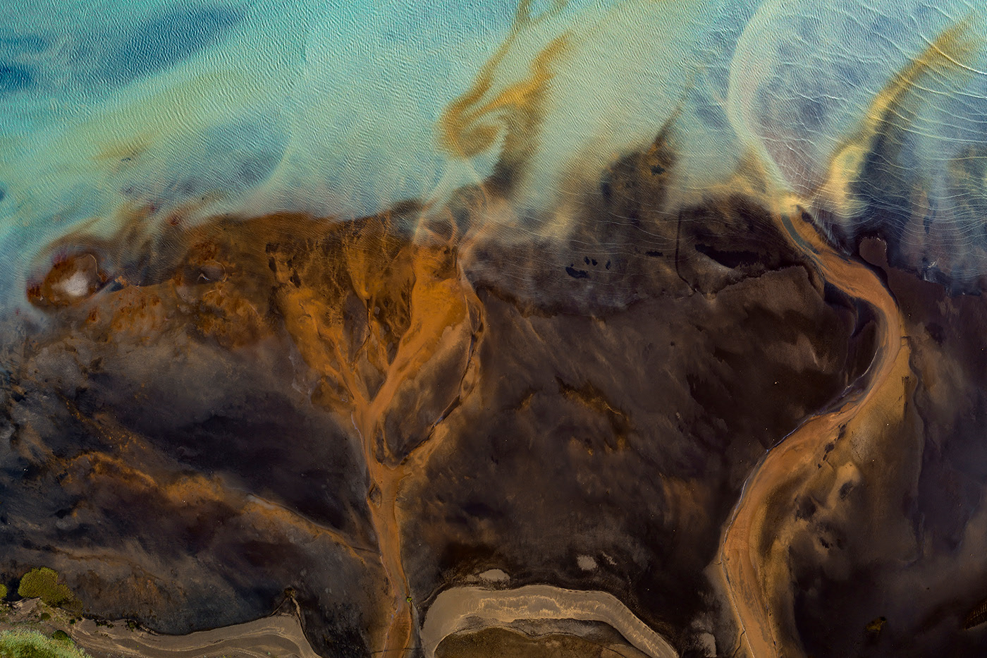
The confluence of two tributaries to the Glacier River Þjórsá. During their journey through agricultural fields they soaked mineral materials, and deposite them over the years in a turquoise glacier river.
milan-radisics-photography-fluvial-alluvial-landscape-art-photo-02.jpg
milan-radisics-photography-fluvial-alluvial-landscape-art-photo-03.jpg
milan-radisics-photography-fluvial-alluvial-landscape-art-photo-04.jpg
milan-radisics-photography-fluvial-alluvial-landscape-art-photo-05.jpg
milan-radisics-photography-fluvial-alluvial-landscape-art-photo-06.jpg
milan-radisics-photography-fluvial-alluvial-landscape-art-photo-07.jpg
milan-radisics-photography-fluvial-alluvial-landscape-art-photo-08.jpg
milan-radisics-photography-fluvial-alluvial-landscape-art-photo-09.jpg
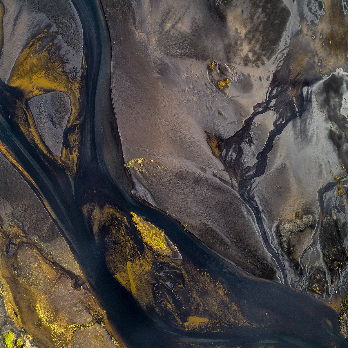
Skaftá River crosses a lava field on its way towards the sea, and over the decades it has leveled the area with mud from glacial meltwater. During low level periods in the summer, sandy islands with dried-out bushes, the result of glacial outburst flooding, emerge. Katla Geopark, Iceland, 2018 / 08
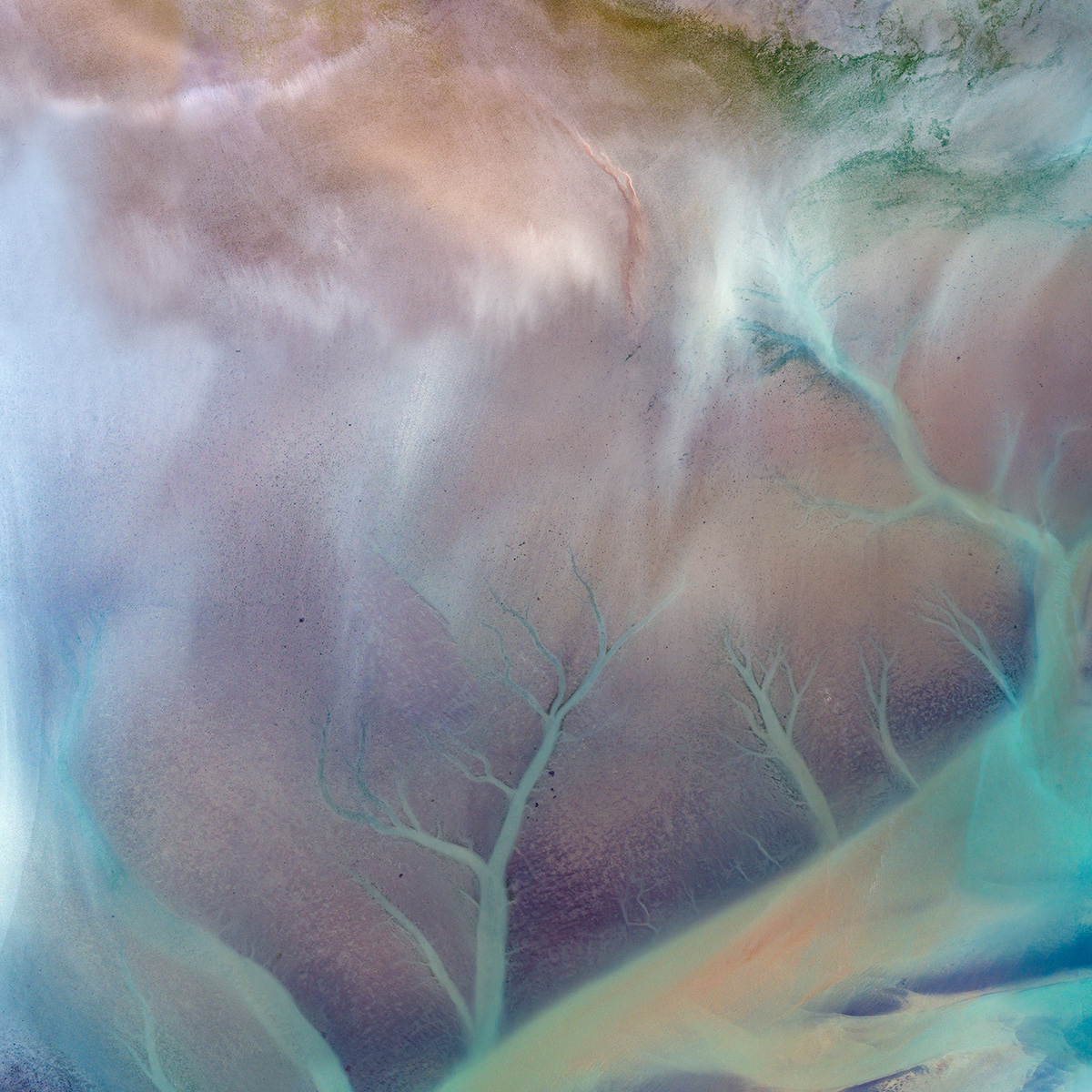
Papafjördur
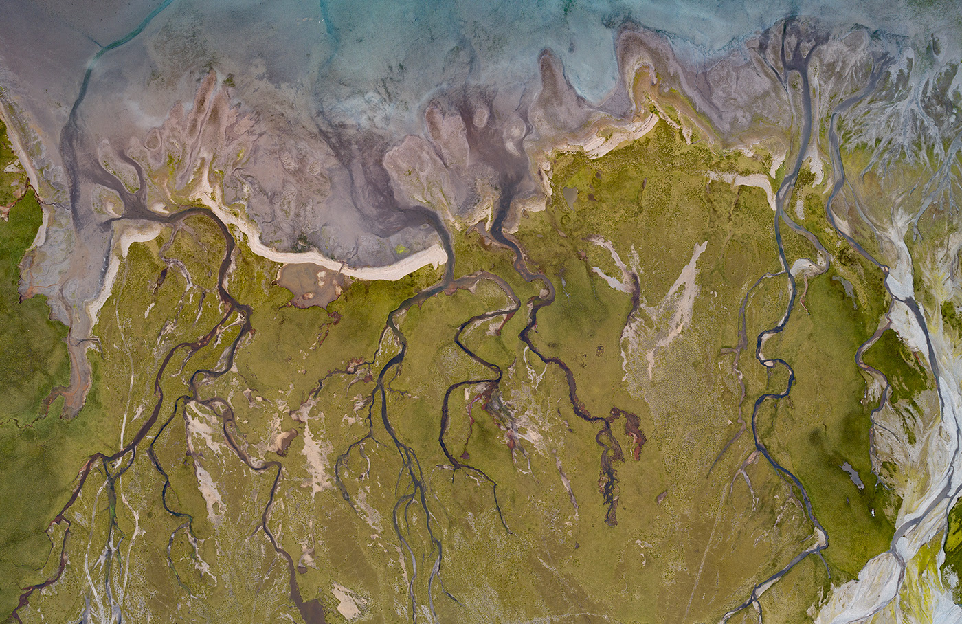
Papafjördur
Estuary of Fjadará, Myrarlakur, Kaldakvisi, Midkvisi and Eyar streams
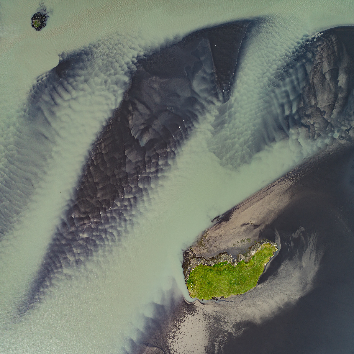
Small island named Þyfiseyzarólmi in middle of Skardsfjödur near Höffn
milan-radisics-photography-fluvial-alluvial-landscape-art-photo-14.jpg
Sand reef on Stjórm River near Kirkjubaejarklaustur village
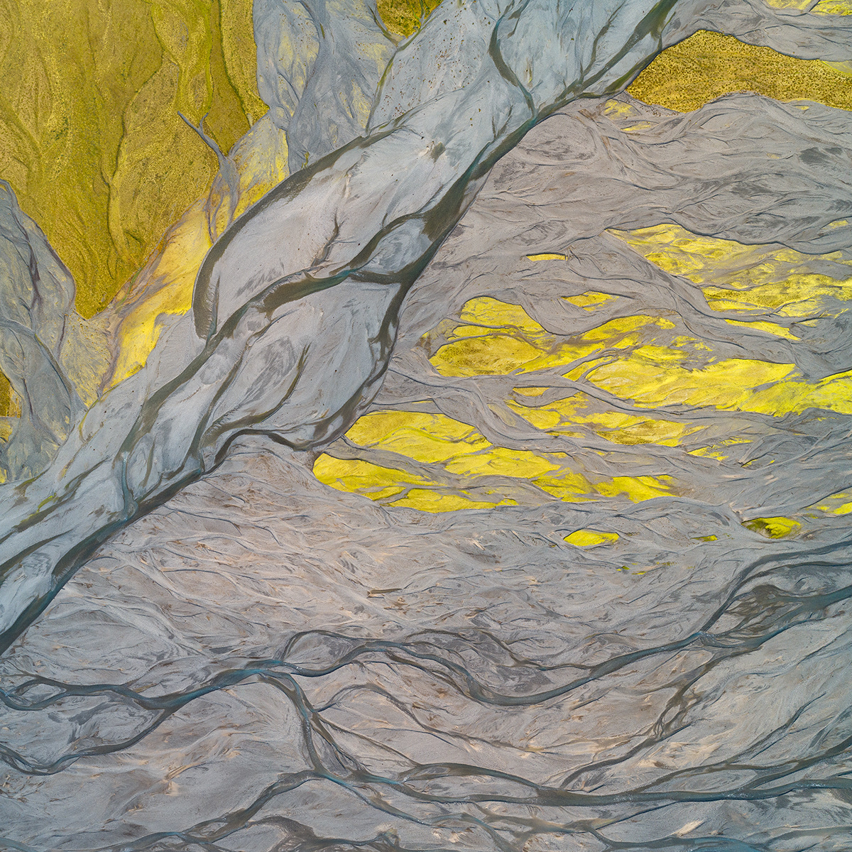
milan-radisics-photography-fluvial-alluvial-landscape-art-photo-16.jpg
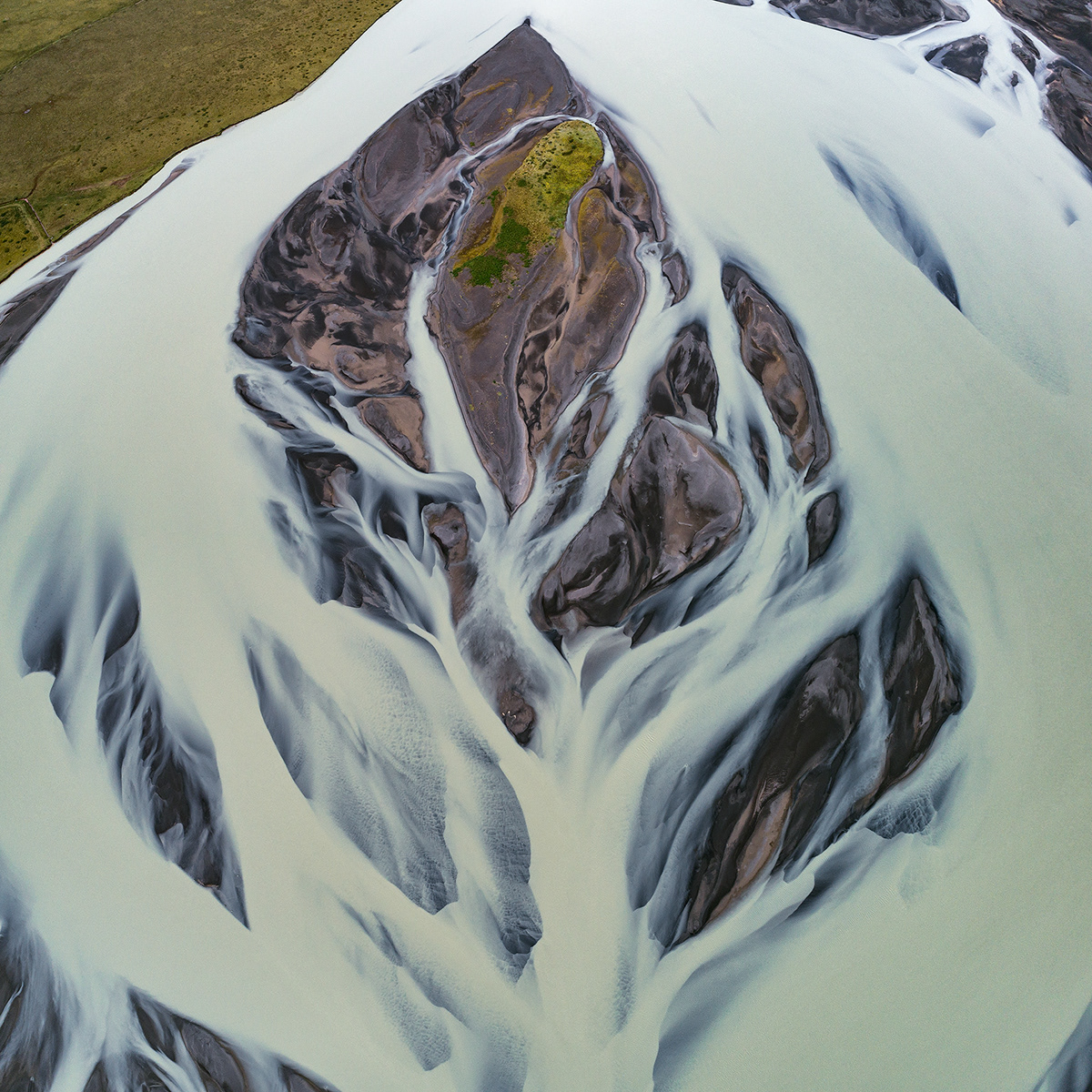
Kúdafljót River and his fluvial deposites
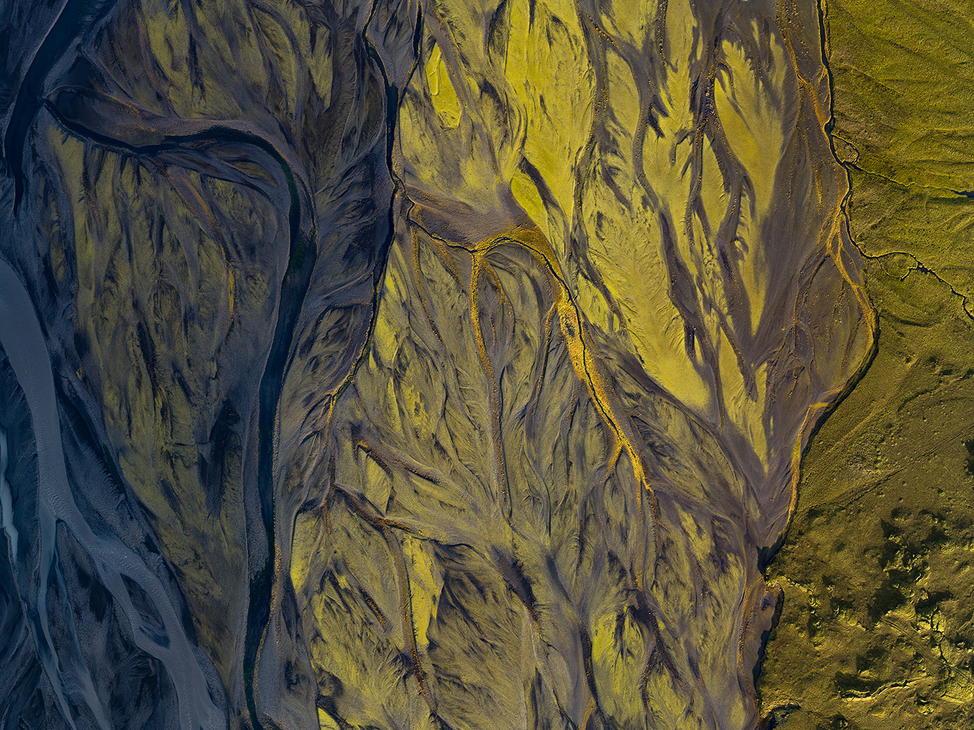
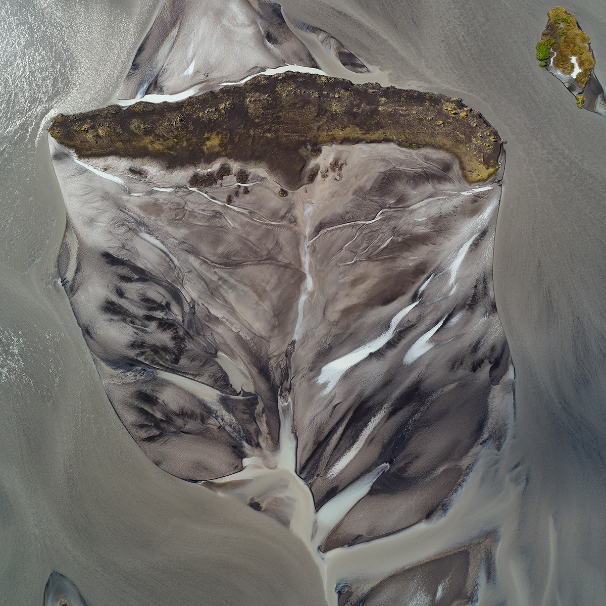
Fluvial deposites of Kúdafljót River covered with moss
milan-radisics-photography-fluvial-alluvial-landscape-art-photo-19.jpg
milan-radisics-photography-fluvial-alluvial-landscape-art-photo-20.jpg
milan-radisics-photography-fluvial-alluvial-landscape-art-photo-21.jpg
 
milan.hu  |  All rights reserved  |  2024